Vea a continuación la traducción a español.
WHAT IS THE JPMORGAN CHASE PRO NEIGHBORHOODS GRANT PROGRAM?
Partnerships for Raising Opportunity in Neighborhoods (PRO Neighborhoods) is a $125 million, five-year initiative to provide communities with the capital and tools they need to support locally-driven solutions and address key drivers of inequality across the country.
The program uses an equitable development approach to economic growth by helping cities implement comprehensive strategies that address barriers to economic mobility.
WHAT IS EQUITABLE DEVELOPMENT?
Equitable development works to ensure quality of life outcomes are equitably experienced by those currently living, working, and moving into a neighborhood (i.e. affordable housing, quality education, living wage employment, healthy environments, and transportation).
Equitable public and private investments, programs, and policies in neighborhoods will meet the needs of residents (specifically communities of color) and reduce historical and current disparities (Adopted from GARE).
WHERE IS IT HAPPENING?
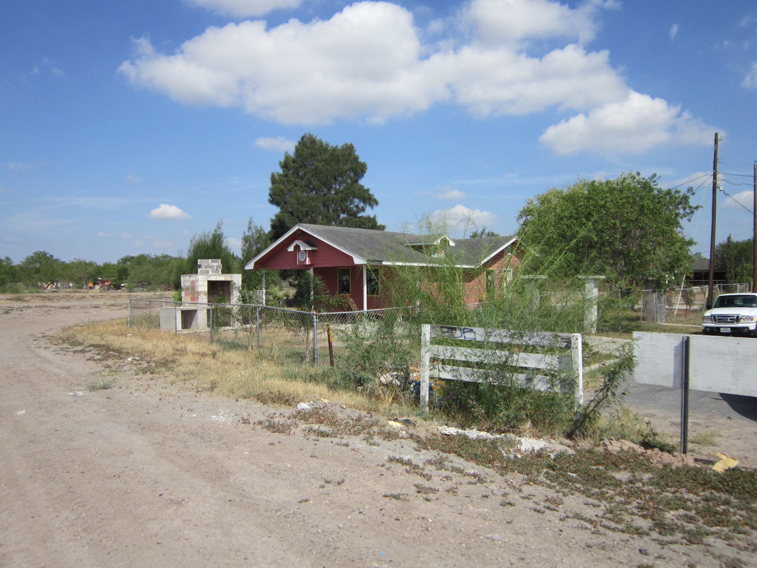
This pilot program will be developed with partners in three Dallas-area neighborhoods identified in the City of Dallas Comprehensive Housing Policy as being vulnerable to rapid transition:
The Forest District in South Dallas/Fair Park
The Bottom neighborhood in East Oak Cliff
West Dallas’ Census Tract 205
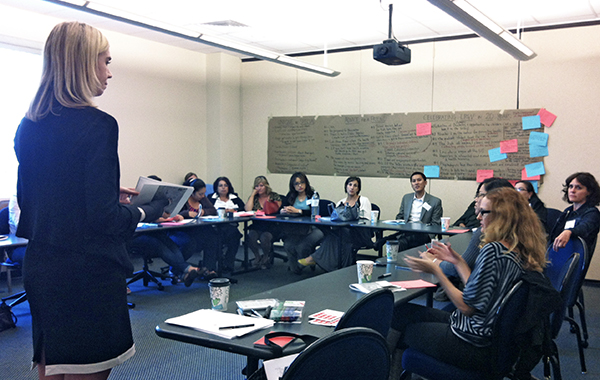
WHY ARE THESE PARTNERS WORKING TOGETHER?
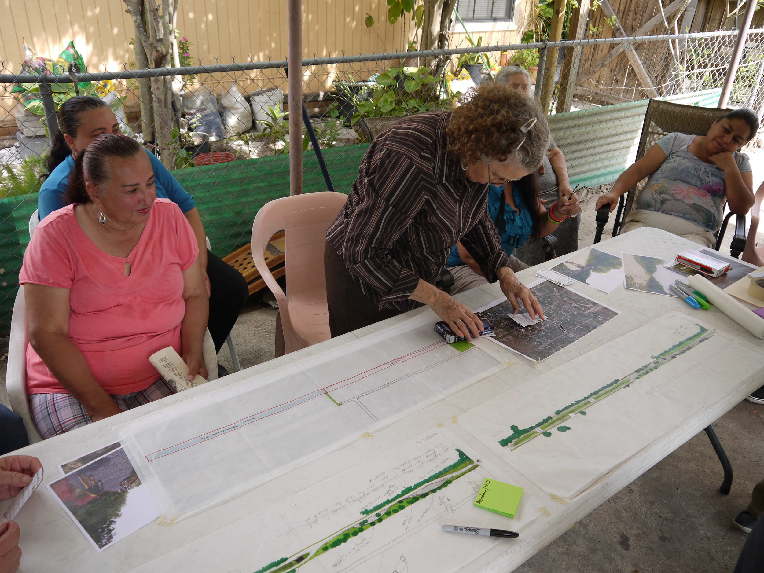
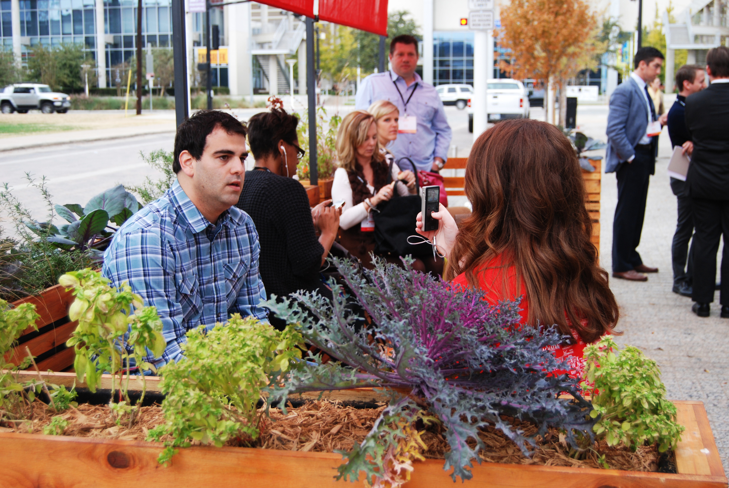
Through our collective approach, we recognize that deliberate, collaborative planning is necessary to ensuring the equitable development of these neighborhoods and supporting economically vibrant and diverse communities. This includes access to affordable housing, vibrant neighborhood centers, small business growth, healthy food options, parks, and arts and culture.
The PRO Neighborhoods Planning Grant will expedite, institutionalize, and expand our existing collaborative efforts, enabling us to learn from one another and, together, build a roadmap for inclusive development in Dallas.
——————-
¿CUÁL ES EL JPMORGAN CHASE PRO VECINDARIO GRANT PROGRAM?
Asociaciones para elevar oportunidad en vecindario (PRO Vecindarios) es de $125 millones, la iniciativa de cinco años para proporcionar a las comunidades con la capital y las herramientas que necesitan para apoyar soluciones impulsadas localmente y abordar los principales impulsores de la desigualdad en el país.
El programa utiliza un enfoque de desarrollo equitativo del crecimiento económico ayudando a ciudades implementar estrategias integrales que aborden las barreras a la movilidad económica.
¿QUÉ ES EL DESARROLLO EQUITATIVO?
Desarrollo Equitativo trabaja para asegurar la calidad de vida equitativa de los resultados experimentados por quienes actualmente están viviendo, trabajando y moviéndose en un vecindario (es decir, la vivienda asequible, educación de calidad, viviendo el empleo asalariado, entornos saludables, y el transporte).
Equitativa de las inversiones públicas y privadas, programas y políticas en barrios va a satisfacer las necesidades de los residentes (concretamente las comunidades de color) y reducir las disparidades históricas y actuales (de la GARE aprobado).
¿EN DONDE ESTÁ SUCEDIENDO?
Este programa piloto se desarrollará a través de la colaboración con socios en tres vecindarios del área de Dallas identificados en la política de vivienda como los más vulnerables a la transición rápida:
El "Forest District" en el Sur de Dallas/Fair Park
El vecindario "The Bottom" al este de Oak Cliff
Zona censal 205 en "West Dallas"
¿POR QUÉ SON ESTOS SOCIOS TRABAJAN JUNTOS?
A través de nuestro enfoque colectivo, reconocemos que deliberado, la planificación colaborativa es necesaria para asegurar el desarrollo equitativo de estos vecindarios y apoyar económicamente vibrante y diversas comunidades. Esto incluye el acceso a una vivienda asequible, vibrantes centros vecinales, el crecimiento de las pequeñas empresas, las opciones de alimentos saludables, los parques, las artes y la cultura.
La subvención de planificación PRO Vecindarios acelerará, institucionalizar y ampliar nuestros esfuerzos de colaboración existentes, lo que nos permite aprender continuamente el de uno del a otro y, juntos, construir una hoja de ruta para el desarrollo inclusivo en Dallas.
![[bc]](http://images.squarespace-cdn.com/content/v1/5248ebd5e4b0240948a6ceff/1412268209242-TTW0GOFNZPDW9PV7QFXD/bcW_square+big.jpg?format=1000w)